Oshkosh 22′: Special IFR Flight Procedures
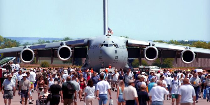
It’s that time of year again – Oshkosh 22’ is just around the corner. The world-famous air show is happening this year from July 25 – 31.
And as you’d expect, it’s going to be big. In fact, it will have the highest concentration of airplanes in the world. Over 10,000 of them to be precise, along with more than 700,000 fans.
To help with the influx of traffic, special air procedures have been published. They’re effective from July 21 – 31 and apply to several airports in the region, not just KOSH/Oshkosh itself.
You may not be headed in for the show, but if you are chartered to take people there (or anywhere near it), it’s time to start planning.
At over thirty pages, the official doc is a solid read. To get you started, here’s a bite-sized summary of the major points for regular turbine IFR operators.
Special Procedures – Managing the flow
There are thirteen airports in the Oshkosh area that the generic procedures apply to. In a nutshell, if you’re headed to one, you will need to take part in the IFR Reservation Program. Or in other words, if you’re non-scheduled, you’ll need a slot.
Big things to know for arrivals:
- They will become available at 17z on July 18, here.
- They won’t be issued more than 72 hours in advance.
- You have to confirm your slot within 12-24 hours of your flight (or you’ll lose it).
- You must include your final confirmation number in your flight plan.
Ops tip: When working out your ETA, they suggest adding 30 minutes for delays (along with fuel).
The good news is that things are a little easier for departures – only KOSH/Oshkosh itself requires a slot through the same process.
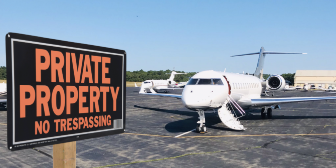
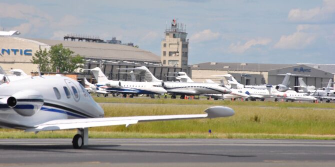
Don’t forget parking – a slot doesn’t guarantee a spot. All parking at nearby airports will be at the premium during the show.
Filing your flight plan
A little common sense prevails here – file early. You can file an IFR plan up to 22 hours in advance. At seven of the Oshkosh area airports, only approved IFR routes in an out are allowed. For arrivals click here, for departures click here.
Picking up your IFR clearance
If you’re departing any airport within 600nm of KOSH (even if you’re not headed near the show), it’s a good idea to get your clearance on the ground to save on airborne delays.
Within 150nm, airborne clearances will be no-bueno, so don’t try it. ATC won’t issue them.
Another ops tip: Avoid plans with multiple stops. ATC advise it is better to file separate plans for each leg.
Airport Specific Procedures
Three airports have their own specific procedures (in addition to the above). Let’s take a look.
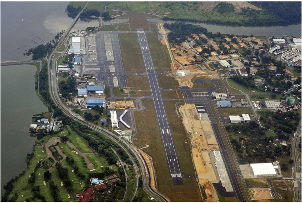
KOSH/Oshkosh
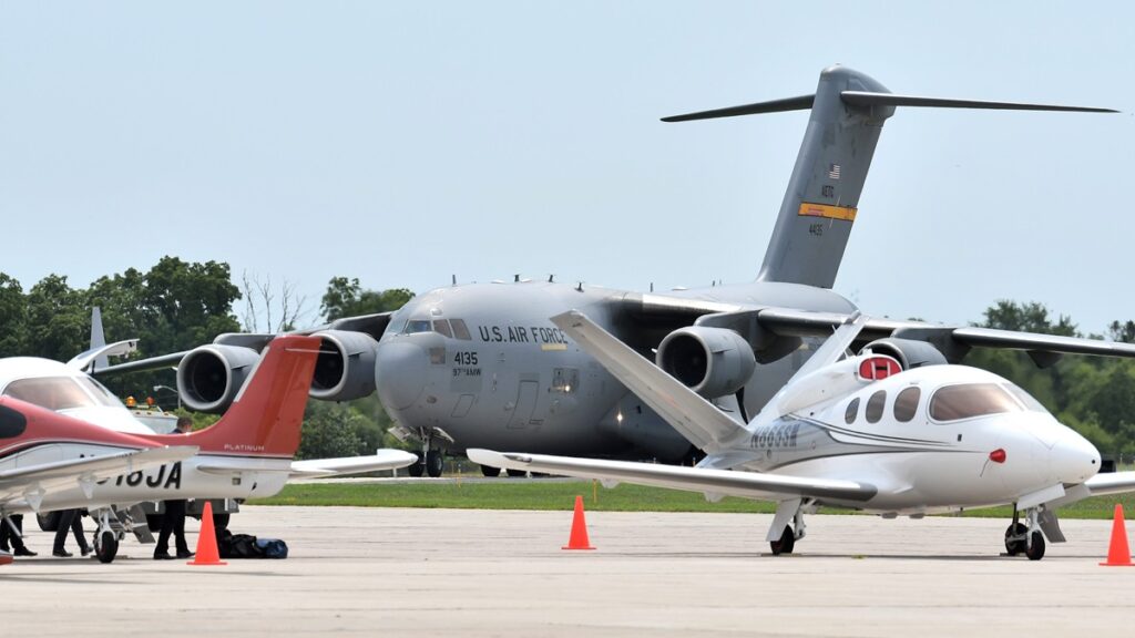
If you’re headed into Oshkosh itself and the weather is good (ceiling 4,500’+, visibility > 5’), turbine aircraft are asked to cancel IFR at 60nm and transition to the arrival below.
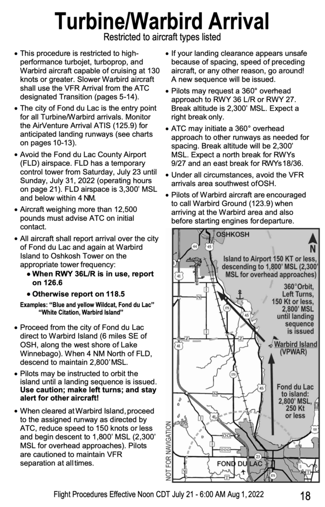
Make sure you grow eyes in the back of your head for other traffic, it’s going be busy.
When you land, you’ll need a nice big sign to show where you’ll be parking to show marshals outside of the left window. Unless you’re staying for the show, it will likely be ‘FBO’ for the Basler Ramp (assuming you have arranged this beforehand).
Chances are though, most non-scheduled charters won’t be operating into KOSH/Oshkosh. Here are the next two closest options.
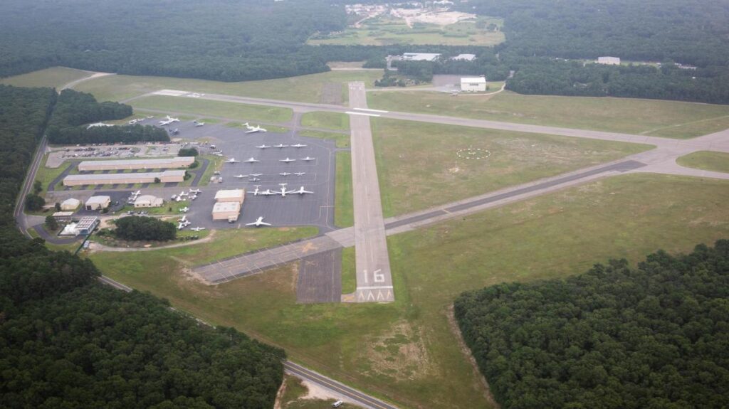
KFLD/Fond du Lac
- Distance from Oshkosh: 14nm
- Longest runway: 5941’ (1800m)
- Parking: Fond du Lack Skyport (920-922-6000)
The FBO is only open between the hours of 06:30 and 21:00LT.
The biggest gotcha is there will be a temporary control tower in place from July 23 – 31, operating between 07:00 and 20:30LT (closing a bit earlier on the last day).
You’ll need to contact them at 10nm inbound. They’re expecting things to be really busy to – so take fuel for holding. They also recommend you arrive before sunset for safety.
If the weather is good, expect to cancel IFR and fly a visual approach.
KATW/Appleton
- Distance from Oshkosh: 17nm
- Longest runway: 8003’ (2439m).
- Parking: Appleton Flight Center (920-738-3034)
The airport is controlled between 05:30 and 23:00 LT every day.
The Main Event Itself
KOSH/Oshkosh will closed to all non-air show traffic during the actual displays.
The action will happen in a TFR within a 5nm radius of the airport up to 16,000.’ It will be active each afternoon during the event dates, and on two evenings – July 27 and 30. The exact timings will be published here, during which time the airport will be closed.
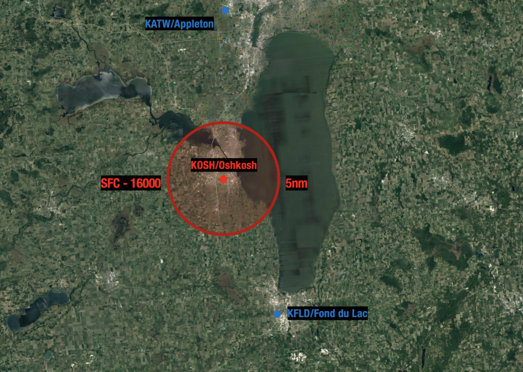
The Oshkosh TFR will be in place during the actual airshows. KOSH will be closed during those times.
Need more help?
The official notice is the place to start – it’s lengthy, but it’s written in plain language which we like.
If you’re having difficulty reserving an IFR slot, contact the Airport Reservation Office at (540) 422-4246.
If your question is about something else, you can reach us on news@ops.group and we’ll do our best to help, or find the right person who can.


 Crew Rules
 Runway 19 Departures (Southerly Flow)
 Teterboro isn’t the only option.
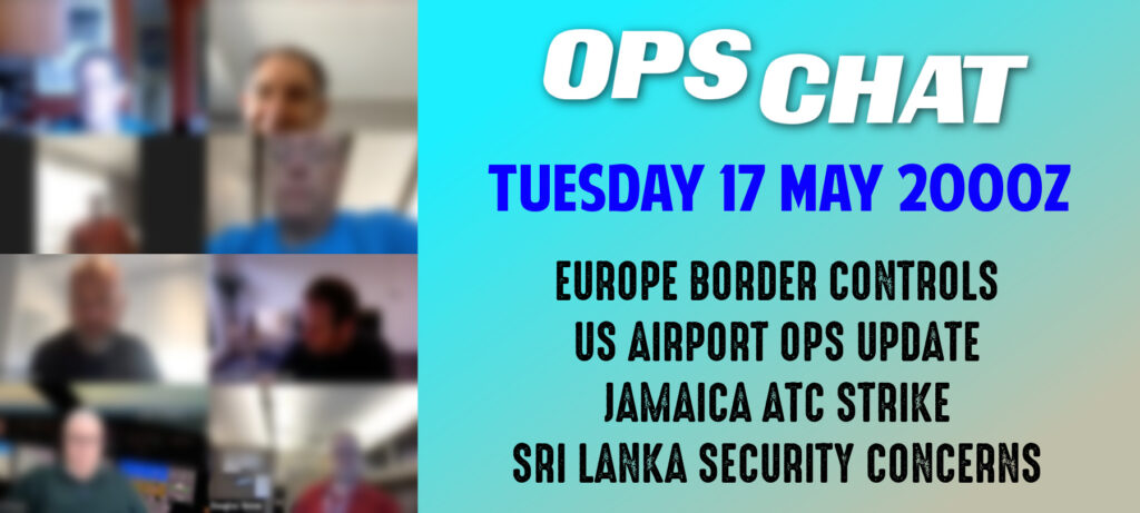
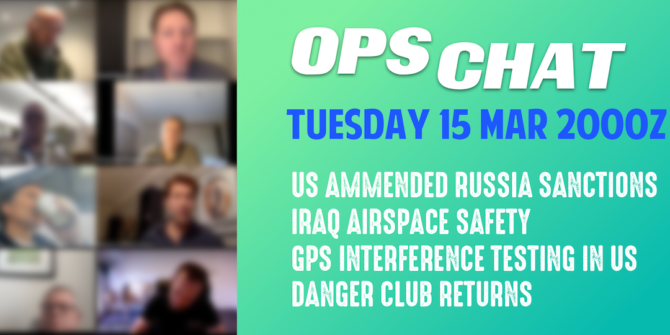
 Hi members,
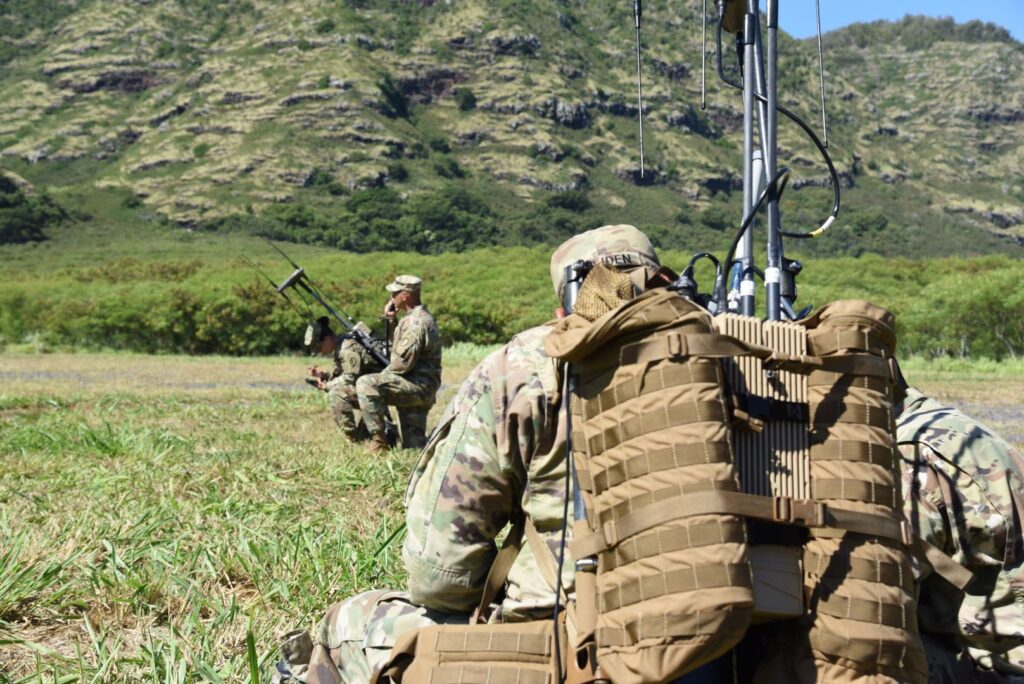
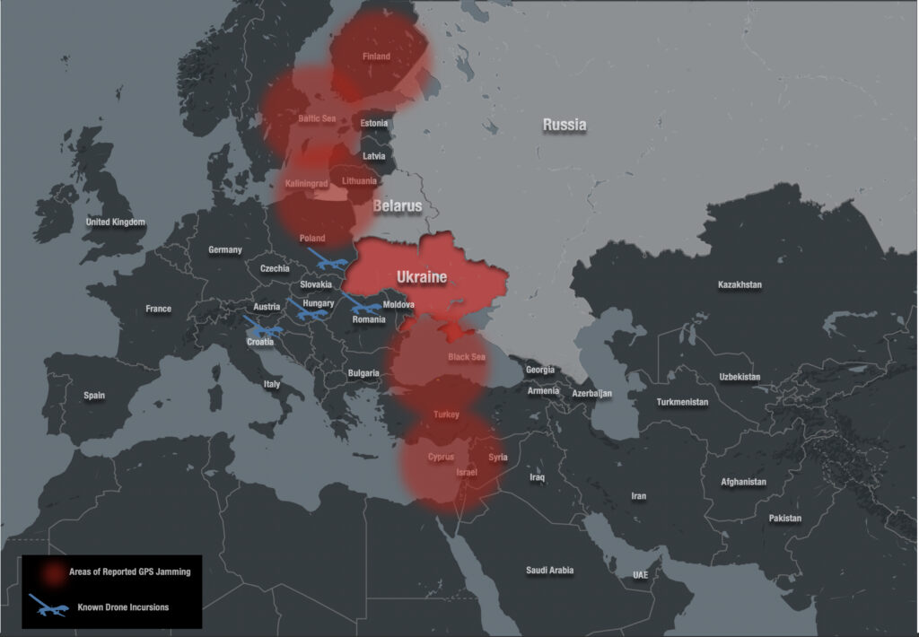 Reports have come from various phases of flights and had led to re-routing and even diversions.
 South Carolina Courtesy:
  California Courtesy:

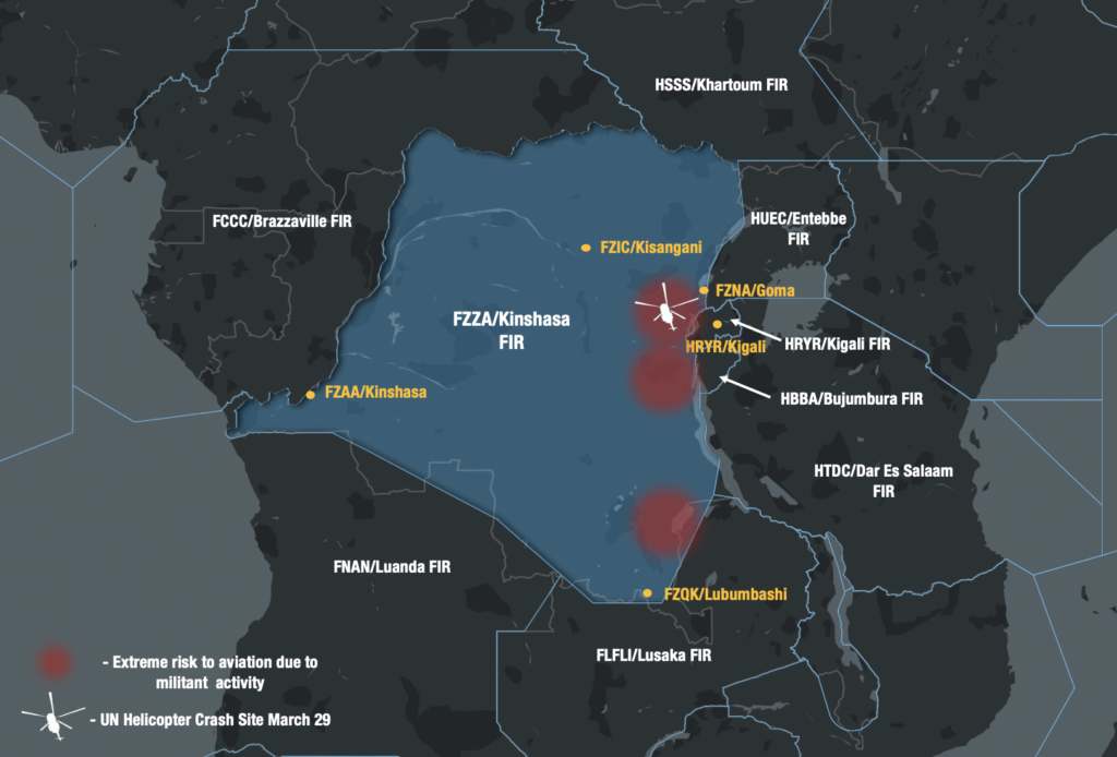
 South of the Equator