Pilots and operators are definitely not the ones hoping for a white Christmas because it means horrible weather, delays and disruption.
Unfortunately for all, weather news sites are calling a ‘storm of epic proportions’ is heading towards North America. It might already have reached you even…
So here is the update on the weather forecast, and a hopefully handy refresher on some of the challenges this might mean for aviation. (So you know we care and are thinking about you while we sit cosy in our warm houses drinking Eggnog).
The Forecast.
On a scale of 1 to bad, they are calling this a ‘once in a generation’ weather event, a ‘looming winter storm of historic proportions’. Not quite A Day After Tomorrow level weather phenomena, but not far off…
The weather is being caused by a severe low pressure system known colloquially as a ‘bomb cyclone’ because of the rapid and significant pressure drop that occurs – around 24 millibars in 24 hours (and that right there is one thing to be cautious about).
The arctic storm is expected to fully impact the east coast of the US and Canada later on December 23, and the following warnings are in place:
- Powerful winter storm bringing sharp cold front and severe snowfall from Midwest to Ohio Valley: Dec 23 onwards
- Powerful winter storm bringing sharp cold front and severe snowfall through Great Lakes and interior Northeast: Weekend Dec 24-25 onwards
- Extreme cold and high gusts over central an eastern US: Dec 23 onwards
- Flooding in the Northeast: Weekend Dec 24 onwards
- States of emergency declared across New York, Kentucky, North Carolina, West Virginia, Georgia and Oklahoma. An ‘energy emergency’ in Wisconsin.
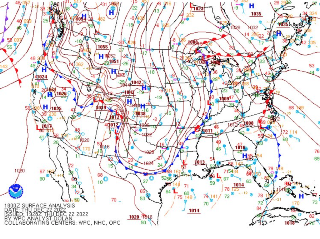
The approaching storm brings ‘plunging’ temperatures and QNHs to watch out for
What is the impact for aviation?
Here is a general ‘things to look out for’ list:
- Airports are likely to see significant disruption, cancellations and closures leading to limited alternate options. En-route airspace will be more congested with diversions and detours taking place
- Significant ground delays for de-icing/anti-icing, and during periods of extreme weather operations will be grounded leading to significant backlogs, parking issues and congestion
- Power outages are likely in the Midwest and Canada which may have a knock on effect for airports
- Staff shortages may occur if folk are unable to commute to airports
- Oil prices are leaping up. Check the costs for fuel.
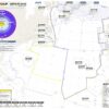
You can find the National Weather Service page on the storm warnings here. They post regular updates via their Twitter page as well.
You can monitor the current US National Airspace System Status here.
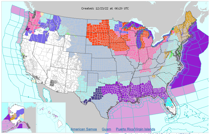
Purple is bad
Is there anything you can prepare for?
The weather conditions are severe, they are saying things like “life-threatening wind chills” so think about that before sending your poor First Officer out, unless you want a fingerless icicle trying to fly with you. It really is going to get nasty in places.
Here is our list of Winter Chillers & Thrillers to look out for:
- Conditions might really get too severe so don’t push it if they do. Look after yourselves!
- There are going to be significant delays in the air and on the ground. Take fuel and make a plan B (preferably before you need it).
- HOTs are going to be hard to manage: Anyone who has ever operated out of JKF on a winter’s day and has waited 7+ hours for de-icing knows what I am talking about. With queues of traffic and bad weather there is a good chance you’ll go out of your HOT so keep an eye on the clock.
- The Global Reporting Format is great but if it is saying things like 1/1/1 then you might find you can’t stop so well, so check that performance. Some operators don’t allow takeoff on icy runways unless treated, for example.
- Ice pellets, hail etc, and severe icing ain’t great. Check them SigWx charts too.
- Refresh on Cold Weather operations procedures.We found some that might or might not be helpful:
- IFALPA put this guidance out on Finland airport operations (but it is applicable to anywhere cold)
- The FAA published this (which is geared to GA but still has some handy info in it)
- AOPA published this and it looks pretty helpful
- Look after your batteries – they have minimum temperature limits and you might need to take them off if you’re parking up outside.
- Watch the fuel temperatures – JET A1 freezes at -47°C, Jet A at -40°C.
- Check your altitudes – apply those cold temperature corrections
- Snow and blizzards bring LVPs
We have a few posts which you might find handy for swotting up on all things chilling:
Be careful!
Not much more to say than that. Stay warm and safe.
More on the topic:
- More: Winter Ops: Fun Fuel Facts
- More: Canada Airport Options Up North
- More: 13 things we learned this Winter
- More: De-Ice De-Ice Baby: Cold Weather Opsicles
- More: Don’t snow where to go? Here’s an Alps Ski Airports Guide
More reading:
- Latest: Gander’s Bringing Back CPDLC Oceanic Reroutes
- Latest: EU Temporary Admission of Aircraft – Busting Myths
- Latest: US Ops Update: Speeds, Squawks and Slippery Runways
- Safe Airspace: Risk Database
- Weekly Ops Bulletin: Subscribe
- Membership plans: Why join OPSGROUP?