With the events surrounding the shootdown of MAS17, risk assessment of potentially unsafe airspace has given far greater weighting to the situation on the ground. Access to reliable information to determine the ever-changing risk level, is by nature of it’s inherent uncertainty, challenging.
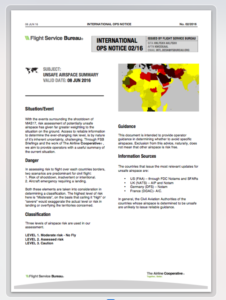
Today we published International Ops Notice 02/16 – “Unsafe Airspace”.
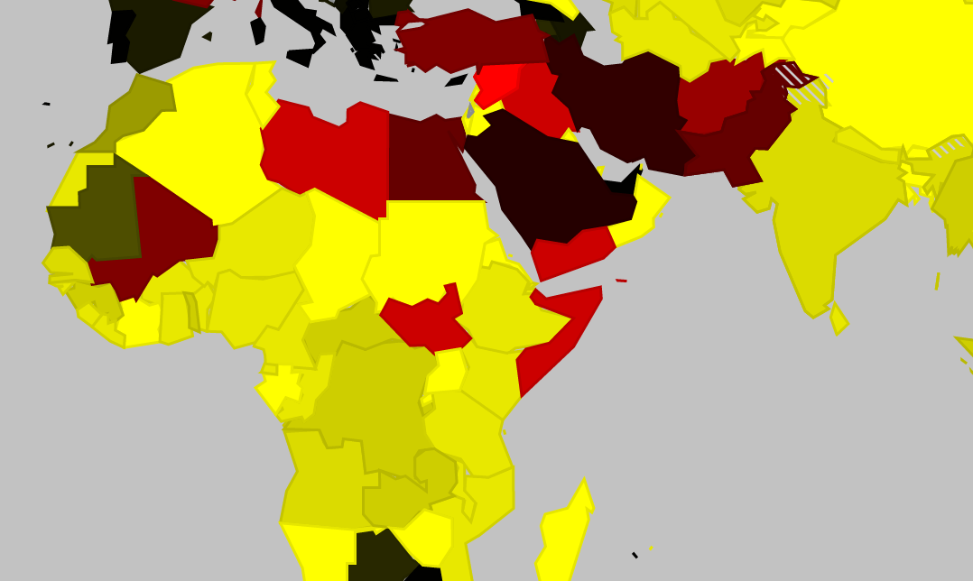
Three levels of airspace risk are used in our assessment.
- LEVEL 1. Moderate risk – No Fly
- LEVEL 2. Assessed risk
- LEVEL 3. Caution
The countries that issue the most relevant updates for unsafe airspace are: The US (FAA) – through FDC Notams and SFARs, the UK (NATS) – AIP and Notam, Germany (DFS) – Notam, France (DGAC)- AIC. In general, the Civil Aviation Authorities of the countries whose airspace is determined to be unsafe are unlikely to issue reliable guidance.
Five countries are currently included in the LEVEL 1 – Moderate Risk category: Libya, Syria, Iraq, Somalia, and Yemen.
The basis for inclusion is the highly unstable current events on the ground, and in all cases the ground factions having access to RPG’s, Surface-Air missiles. We strongly recommend avoiding this airspace entirely. All countries have multiple warnings, and your country of registry is likely to have issued specific instructions not to penetrate these airspaces.
References:
More on the topic:
- More: New RISK WARNING: Somalia ATC Conflict
- More: TCAS Saves the Day in Somalia
- More: Libya Airspace Risk: An Idiot’s Guide
- More: FAA warning issued, further serious navigation failures reported
- More: Flights misled over position, navigation failure follows
More reading:
- Latest: FAA Warns on Runway Length Data and Overrun Risk
- Latest: EASA’s New Cyber and Data Risk Rule for Operators in Europe
- Latest: Airport Spy: Real World Reports from Crews
- Safe Airspace: Risk Database
- Weekly Ops Bulletin: Subscribe
- Membership plans: Why join OPSGROUP?







 Get the famous weekly



Hi Rusty,
Have a look at http://fsbureau.org/map – all there …
Where is the legend for the color codes for the different airspace categories displayed on the map?