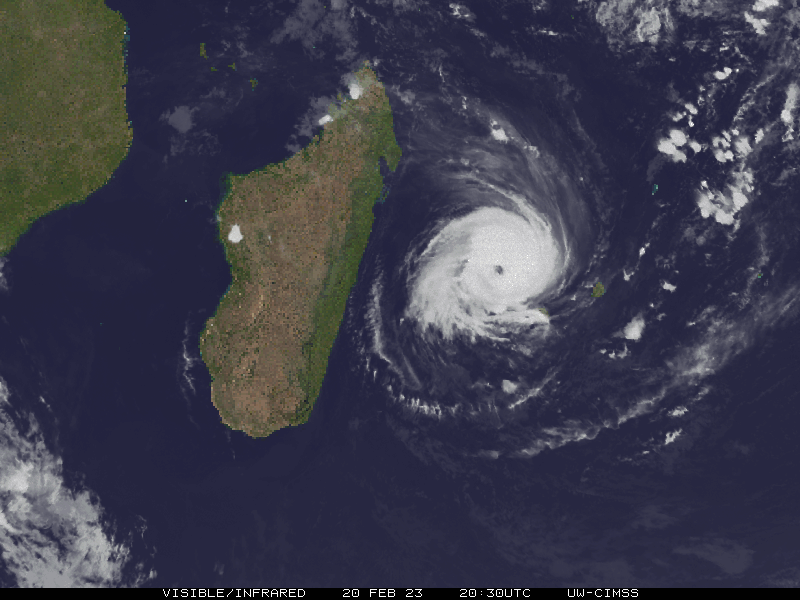
Update 7 March: Freddy has passed over Madagascar and initially deintensified, but with the warm waters of the Mozambique Channel feeding him, he is growing again. He is expected to reach category 2 levels with winds over 90knot. Landfall over Mozambique is forecast on March 11. The west coast of Madagascar, and the coastal regions of Mozambique, including FQMA/Maputo will see some bad weather for the next few days.
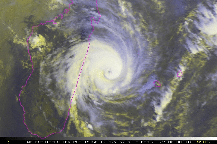
Update 21 February: Freddy is decreasing to a category 1 hurricane with wind speeds between 80-85knots. It is due to make landfall over Madagascar in the afternoon of Feb 21.
We don’t often post about tropical storms unless they are monumental and expected to cause a severe level of disruption and damage.
Freddy is fairly big, and it’s a Friday, so I figured I would give him his 10 minutes of fame.
Just how big?
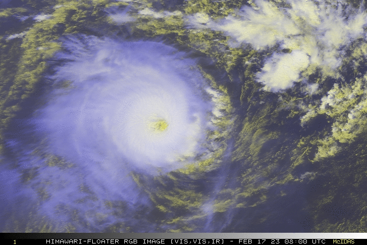
He is currently a Category 4 hurricane which means his wind speeds are topping 120 knots. The likes of Hurricane Katrina reached Category 5 levels (although she was only a 3 when she made landfall). Hurricane Harvey was a 4 when he hit Texas in 2017.
So Freddy is big, and Freddy is bad. But Freddy is also, currently, still swirling about the Indian Ocean and nothing more than a blob on your SigWx chart that you might detour around slightly.
Where is Freddy heading?
Freddy is heading west, towards Mauritius and Madagascar.
He will reach the Port Louis area in the next 2 days, and is forecast to have de-intensified to a Category 3, with wind speeds around 110 knots. The following airports will likely experience severe weather conditions as the storm passes:
- FIMP/Sir Seewoosaur Ramgoolam (Port Louis)
- FMEE/Roland Garros (Reunion)
Landfall is forecast around Feb 22, south of FMMI/Ivato (Antananarivo) Madagascar.
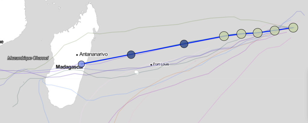
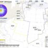
Forecast track. Source: Cyclocane
How much disruption is expected?
When Freddy makes landfall he is expected to have reduced to a Category 2 hurricane, with winds around 90 knots. However, the region lacks good infrastructure and damage may be increased because of this.
The airports in this area are relatively remote, island airports, with few diversion options (particularly if the weather is hammering them all) so plan that fuel and those alternates accordingly if you are in the region over the next few days.
Follow Freddy
We also recommend staying in contact with handling agents and confirming conditions with them prior to operating. Here are two contact suggestions in case you need:
- General Aviation Mauritius, FIMP: ops.mru@yulounge.com / +230 603 6666
- General Aviation Service, FMMI: info@gasaviation.com / +255 743 775 439
More on the topic:
- More: Hurricane Milton – Florida Under Warning
- More: Hurricane Beryl
- More: Hurricane Idalia: Florida Airport Closures – 1200z Aug 30
- More: Hurricane Season Approaching: What’s in store for 2023?
- More: 2020: A Record Breaking Hurricane Season
More reading:
- Latest: Gander’s Bringing Back CPDLC Oceanic Reroutes
- Latest: EU Temporary Admission of Aircraft – Busting Myths
- Latest: US Ops Update: Speeds, Squawks and Slippery Runways
- Safe Airspace: Risk Database
- Weekly Ops Bulletin: Subscribe
- Membership plans: Why join OPSGROUP?