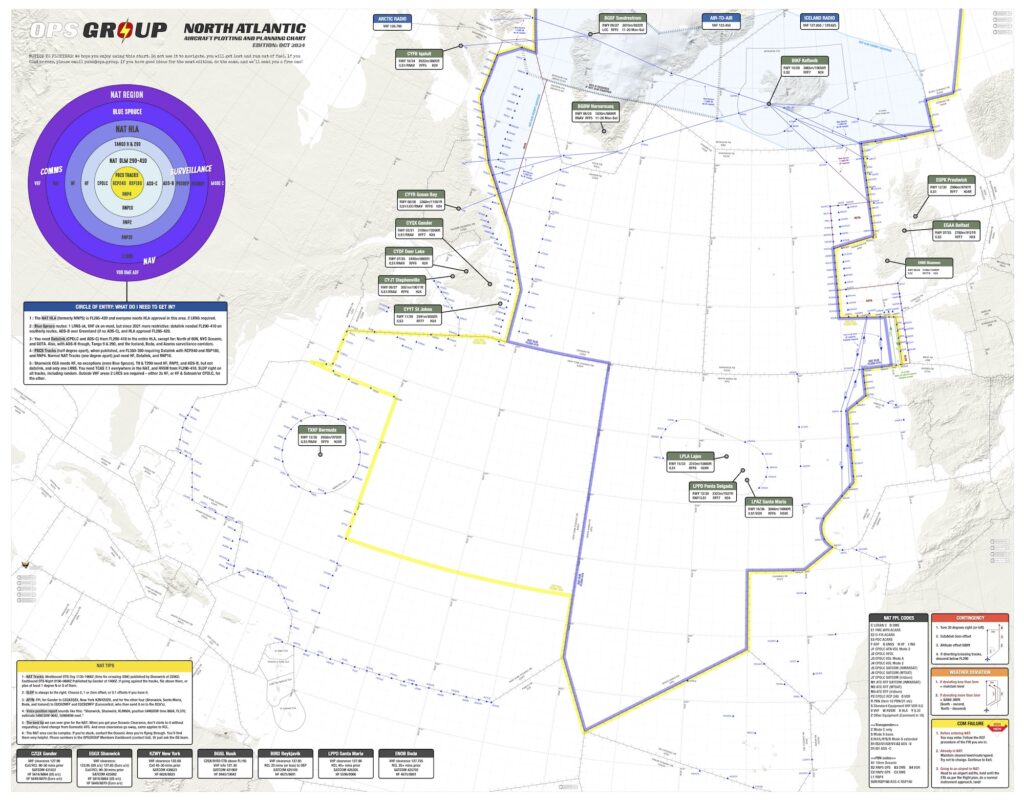
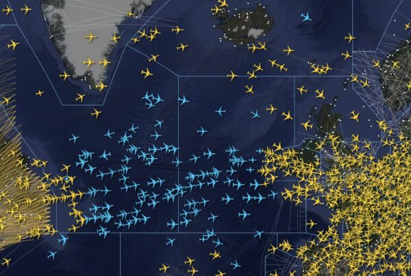
The new OPSGROUP NAT/North Atlantic Plotting and Planning Chart 2025 is released today! This is our chart showing North Atlantic Oceanic Airspace and adjoining domestic airspace, with easy to read NAT Tips, Airspace Requirements, Emergency Procedures, and much more!
OPSGROUP members – you can grab a copy in your Dashboard. View it on your iPad or Laptop etc. as a PDF, or print it out! If you’re not a member, read on for how to get a copy…
Changes in this NEW edition (Oct 2024):
- FULLY UDPATED for 2025!
- UPDATED! NAT Tips – using NAT Tracks, SLOP, filing an Oceanic Flight Plan, and helpful tips.
- UPDATED! Quick reference for contingency, weather, and comms failure with easy graphics.
- UPDATED!: NAT Airspace Circle of Entry 2025 – easily check what you need for Nav, Comms and ATC Surveillance depending on which bit of the NAT you will be flying through.
- Additional diversion airports, now 16 total primary NAT alternates with runway, approach, length, RFF, and hours.
- Easy view of boundaries for HLA and DLM/Datalink mandated airspace.
- Updated NAT FPL codes, clearance frequencies, Satcom, and HF.
- Fully updated “South East Corner” with new Tango routes.
- and … Treasure Boxes!
Other chart features:
- Requirements for NAT tracks, PBCS tracks, datalink mandate.
- Common NAT Diversion Airports.
- Runway Orientation, Length, best IFR Approach.
- RFF Category and Opening hours.
- NAT FPL Codes and sample FPL.
- Blue Spruce routes and equipment requirements.
- All NAT Entry/Exit points with associated required landfall fixes.
There are two options to download a copy of the NAT Chart:
OPSGROUP Members
You can get it in your Dashboard, under Briefings and Guides.
Get it from the OPSGROUP Store
Not a member? Get a copy from the OPSGROUP Store.
More on the topic:
- More: New NAT Doc 007: North Atlantic Changes from March 2026
- More: What’s Changing on the North Atlantic?
- More: Timeline of North Atlantic Changes
- More: Spoofed Before the NAT? Here’s What to Do
- More: Shanwick Delays OCR Until Post-Summer 2026
More reading:
- Latest: Airport Spy: Real World Reports from Crews
- Latest: New NAT Doc 007: North Atlantic Changes from March 2026
- Latest: Guided Visuals: What They Are and Why They’re So Useful
- Safe Airspace: Risk Database
- Weekly Ops Bulletin: Subscribe
- Membership plans: Why join OPSGROUP?


 Get the famous weekly


the hyperlink to the dashboard is broken.” internal_server_error 500.